LHASA, 4 October (BelTA - Xinhua) - Scientists have identified the
thickest glacier on the Qinghai-Xizang Plateau, known as Asia's water
tower, following the discovery of a nearly 400-meter-thick ice field.
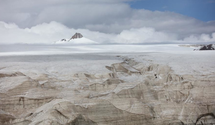
The ice field, with a maximum measured thickness of nearly 400 meters, is part of the Purog Kangri Glacier in Tsonyi County, southwest China's Xizang Autonomous Region, according to researchers from the Chinese Academy of Sciences (CAS).
The measurement has determined that the Purog Kangri Glacier is now the thickest glacier on the Qinghai-Xizang Plateau, replacing the Guliya Ice Cap in Ngari Prefecture.
Researchers employed radar equipment in the measurement and determined the thickness of the ice by reading the reflection of electromagnetic waves.
Glaciers contain important information about the Earth's climate history. Previously, scientists drilled a 308.6-meter ice core from Guliya, which was formed over a period of more than 700,000 years.
Scientists are currently extracting ice cores from the Purog Kangri Glacier, which they believe contain older ice.
"Thickness measurement and ice core analysis help us better understand bygone environmental changes, as well as how global warming affects glaciers, which impacts lakes, rivers and people's living environment," said Yao Tandong, an academician of the CAS.
The measurement is part of China's second scientific expedition and research project on the Qinghai-Xizang Plateau, initiated in August 2017 and headed by Yao.
"Currently, glaciers worldwide are retreating. Once they melt, the historical records encapsulated within them will also disappear," said Lonnie Thompson, a foreign academician of the CAS and a member of the American Academy of Sciences.
"Therefore, extracting and preserving ice cores is crucial for retrieving historical information," added Thompson, who took part in the measurement process.


